

New season of turtle tracking helping to understand the sub-surface waters of Northern Australia

IMOS is providing valuable oceanographic measurements in this poorly sampled region whilst simultaneously delivering information about turtle behaviour and movements by attaching satellite tags to turtles. On a recent field trip satellite tags were attached to 20 olive ridley turtles during the nesting season at Imalu Beach on Melville Island, which is in the Tiwi […]
Cutting-edge laser boosts thermochronology research at the University of Melbourne

Researchers from the University of Melbourne’s School of Geography, Earth and Atmospheric Sciences are transforming the speed and scale of their thermochronology research, enabling more effective and precise analysis of geological samples. The faster research is thanks to a new, state-of-the-art ESL193nm ImageGEO laser system from Elemental Scientific. The laser will accelerate earth science research […]
A software time dial for the paleoclimate community

The ACCESS-NRI team has added a “time dial” into the Earth System Model (EM1.5) that allows paleoclimate researchers to match the right value of Earth’s orbit around the Sun during different past climates. The ACCESS Earth System Model 1.5 (ACCESS-ESM1.5) is used by the paleoclimate community to understand the climate of the Earth from thousands […]
ALA’s Indigenous Ecological Knowledge Program

Connecting Traditional and Western science Indigenous Ecological Knowledge The Atlas of Living Australia’s (ALA) Indigenous Ecological Knowledge (IEK) program supports collaboration with our Aboriginal and Torres Strait Islander partners, promotes Indigenous ecological knowledge and languages, and links this knowledge to Western science. Indigenous ecological knowledge is based on thousands of years of studying native plants, animals and the […]
A true partnership to improve position, navigation and timing services in Australia
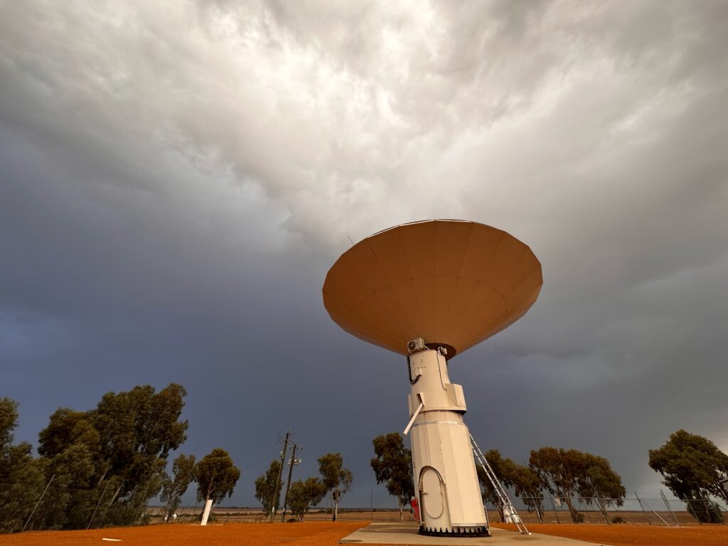
What do precision agriculture, weather predictions and synchronising financial transactions all have in common? They rely on geodesy, the science of measuring the Earth that enables all Positioning, Navigation and Timing (PNT) applications that are used in everyday life. This exact science underpins the global geospatial economy, which has a value of at least US$1 […]
Delivering Data to Improve Reporting on Australia’s Environment

Australia’s national research infrastructures are working together to streamline access to integrated data for State of the Environment reporting and other environmental assessments. The collaborative project is ensuring easy, open access to comparable, time-series datasets for key measures of the state of Australia’s environment and biodiversity. Every five years, the Australian Government delivers the State […]
AuScope underpins Julimar polymetallic minerals discovery

In November 2021, Chalice Mining Limited released a maiden resource statement for the Julimar polymetallic mineral deposit on Wadjuk Country in Western Australia. This is an exciting milestone for Chalice on the path to delivering palladium, nickel, copper and platinum for clean energy technologies. Equally impressive is the decades-long backstory to the Julimar discovery, which […]